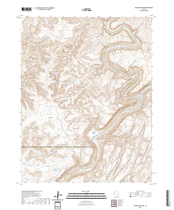
2023 Map of Spanish Bottom
USGS Topo · Published 2023About this map
The Green River and Colorado River converge in this section of Canyonlands National Park, a landscape defined by the deep incisions of Stillwater Canyon and Cataract Canyon. The confluence is a pivotal geographic point where the calmer northern waters meet the turbulent Brown Betty Rapids. Beyond the riverbanks, the terrain is marked by distinctive geological formations such as Beehive Arch, Muffin Arch, and the curiously named Thieves Cache Arch near Jasper Canyon.
Find a feature on this map
49 named features on this map. Tap any name to fly to it.
Don’t see what you’re looking for? This feature index may not catch every label — zoom into the map to look around manually.
Map Details
Editions of this 2023 Spanish Bottom Map
This is the sole edition of this map. No revisions or reprints were ever made.
Other maps of this area

1885 · San Rafael
USGS Topo · 1:250,000

1885 · La Sal
USGS Topo · 1:250,000

1951 · Upheaval Dome
USGS Topo · 1:62,500

1952 · Carlisle 2 SE
USGS Topo · 1:24,000

1952 · Carlisle 2 SW
USGS Topo · 1:24,000

1953 · Carlisle 3 NW
USGS Topo · 1:24,000

1953 · Orange Cliffs 1 SE
USGS Topo · 1:24,000

1953 · Orange Cliffs 4 NE
USGS Topo · 1:24,000

1953 · The Spur
USGS Topo · 1:62,500

1953 · The Needles
USGS Topo · 1:62,500