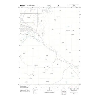
2011 Map of Spanish Fork Peak
USGS Topo · Published 2011About this map
Spanish Fork Peak dominates the skyline in this 2011 survey, overlooking a landscape defined by the winding course of the Spanish Fork river and the canyon through which it flows. To the northwest, the expansion of local irrigation and transport is evident at Mapleton Siding and along the East Bench Canal. The terrain is characterized by a dense network of drainages and ridges, including Dry Diamond Ridge and Wind Rock Ridge, which separate various hollows and canyons.
Find a feature on this map
51 named features on this map. Tap any name to fly to it.
Don’t see what you’re looking for? This feature index may not catch every label — zoom into the map to look around manually.
Map Details
Editions of this 2011 Spanish Fork Peak Map
This is the sole edition of this map. No revisions or reprints were ever made.
Other maps of this area

1885 · Salt Lake
USGS Topo · 1:250,000

1885 · Manti
USGS Topo · 1:250,000

1895 · Manti
USGS Topo · 1:250,000

1907 · Strawberry Valley
USGS Topo · 1:125,000

1909 · Strawberry Valley
USGS Topo · 1:125,000

1948 · Spanish Fork
USGS Topo · 1:24,000

1948 · Springville
USGS Topo · 1:24,000

1948 · Provo
USGS Topo · 1:24,000

1949 · Provo
USGS Topo · 1:62,500

1949 · Spanish Fork Peak
USGS Topo · 1:24,000