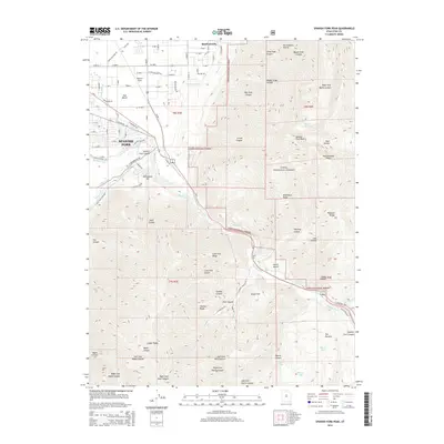
2014 Map of Spanish Fork Peak
USGS Topo · Published 2014About this map
The Spanish Fork and Mapleton interface showcases the transition from the developed valley floor to the steep elevations of the Wasatch Range. The complex water management system is a defining characteristic of this landscape, featuring the Mapleton Lateral, Mill Race Canal, and the S Field Canal which service the agricultural lands of the East Bench. These man-made watercourses contrast with the natural drainage of the Spanish Fork river as it exits the Uinta National Forest.
Find a feature on this map
97 named features on this map. Tap any name to fly to it.
Don’t see what you’re looking for? This feature index may not catch every label — zoom into the map to look around manually.
Map Details
Editions of this 2014 Spanish Fork Peak Map
This is the sole edition of this map. No revisions or reprints were ever made.
Other maps of this area

1885 · Salt Lake
USGS Topo · 1:250,000

1885 · Manti
USGS Topo · 1:250,000

1895 · Manti
USGS Topo · 1:250,000

1907 · Strawberry Valley
USGS Topo · 1:125,000

1909 · Strawberry Valley
USGS Topo · 1:125,000

1948 · Spanish Fork
USGS Topo · 1:24,000

1948 · Springville
USGS Topo · 1:24,000

1948 · Provo
USGS Topo · 1:24,000

1949 · Provo
USGS Topo · 1:62,500

1949 · Spanish Fork Peak
USGS Topo · 1:24,000