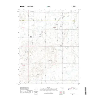
2019 Map of Spanish Peak
USGS Topo · Published 2019About this map
Spanish Peak rises as a prominent landmark in this landscape spanning the Tulsa Co Okmulgee Co border south of Glenpool and Bixby. The area is defined by a transition from the southern outskirts of the Tulsa metropolitan area into more rural terrain marked by family-named land features and scattered small settlements. The community of Hectorville sits at a crossroads in the east, while the western portion of the map is dominated by the elevations around Rock Creek Canyon and the winding path of Hoot Owl Hollow.
Find a feature on this map
102 named features on this map. Tap any name to fly to it.
Don’t see what you’re looking for? This feature index may not catch every label — zoom into the map to look around manually.
Map Details
Editions of this 2019 Spanish Peak Map
This is the sole edition of this map. No revisions or reprints were ever made.
Other maps of this area

1896 · Okmulgee
USGS Topo · 1:125,000

1900 · Okmulgee
USGS Topo · 1:125,000

1901 · Nuyaka
USGS Topo · 1:125,000

1914 · Kiefer
USGS Topo · 1:62,500

1916 · Kiefer
USGS Topo · 1:62,500

1946 · Fort Smith
USGS Topo · 1:250,000

1954 · Oklahoma City
USGS Topo · 1:250,000

1957 · Leonard
USGS Topo · 1:24,000
1957 · Bixby
USGS Topo · 1:24,000

1957 · Oklahoma City
USGS Topo · 1:250,000