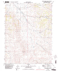
1980 Map of Spanish Springs Peak
USGS Topo · Published 1980About this map
Warm Springs Valley and the northern reaches of the Pah Rah Range dominate this 1980 topographic study, revealing a landscape defined by intermittent water sources and ranching history. Named for the high summit of Spanish Springs Peak, the area is punctuated by vital water points like Curnow Spring, Wildcat Spring, and Quaking Aspen Spring. These springs, alongside drainages such as Cottonwood Creek and Right Hand Canyon, were essential for the operations at Wilcox Ranch during the late 1970s.
Find a feature on this map
19 named features on this map. Tap any name to fly to it.
Don’t see what you’re looking for? This feature index may not catch every label — zoom into the map to look around manually.
Map Details
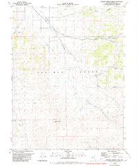
Editions of this 1980 Spanish Springs Peak Map
2 editions found
Other maps of this area

1890 · Wadsworth
USGS Topo · 1:125,000

1891 · Reno
USGS Topo · 1:125,000

1892 · Wadsworth
USGS Topo · 1:125,000

1893 · Reno
USGS Topo · 1:125,000

1894 · Wadsworth
USGS Topo · 1:125,000

1957 · Sutcliffe
USGS Topo · 1:62,500
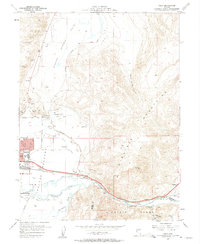
1957 · Vista
USGS Topo · 1:24,000

1957 · Spanish Springs Valley
USGS Topo · 1:62,500

1957 · Wadsworth
USGS Topo · 1:62,500

1957 · Nixon
USGS Topo · 1:62,500