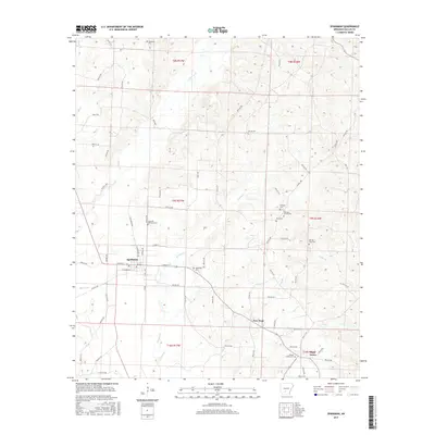
2017 Map of Sparkman
USGS Topo · Published 2017About this map
Sparkman sits at the heart of this Dallas County landscape, where the local street grid including W Main St and N Railroad Ave meets the surrounding timberlands. The area is defined by a dense concentration of family and community burial grounds, such as Holeman Cem in the north and Mount Carmel Cem near Pine Grove to the south. These sites, along with Harmony Church Cem and Old New Hope Cem, suggest a deeply rooted rural society centered around small church communities and crossroads like New Hope. The terrain is etched by numerous small watercourses including Brushy Cr, Cypress Cr, and Horse Br, which dictate the placement of roads and the boundaries of early land partitions.
Find a feature on this map
36 named features on this map. Tap any name to fly to it.
Don’t see what you’re looking for? This feature index may not catch every label — zoom into the map to look around manually.
Map Details
Editions of this 2017 Sparkman Map
This is the sole edition of this map. No revisions or reprints were ever made.
Other maps of this area

1903 · Camden
USGS Topo · 1:125,000

1953 · El Dorado
USGS Topo · 1:250,000

1955 · Little Rock
USGS Topo · 1:250,000

1956 · Little Rock
USGS Topo · 1:250,000

1957 · El Dorado
USGS Topo · 1:250,000

1958 · El Dorado
USGS Topo · 1:250,000

1960 · El Dorado
USGS Topo · 1:250,000

1960 · Little Rock
USGS Topo · 1:250,000

1964 · Little Rock
USGS Topo · 1:250,000
1965 · Dalark
USGS Topo · 1:24,000