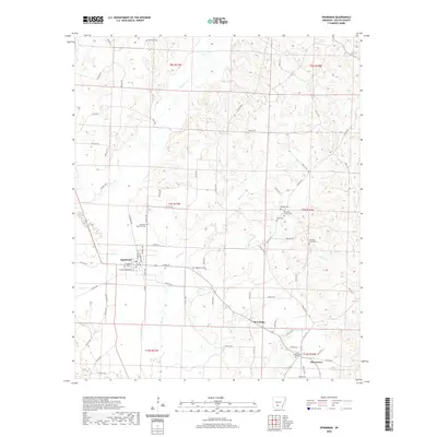
2024 Map of Sparkman
USGS Topo · Published 2024About this map
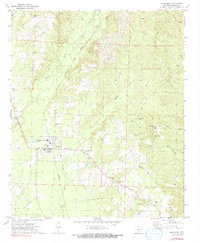
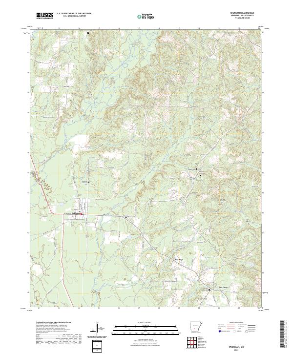
The town of Sparkman serves as the central hub of this Dallas County landscape, where a dense network of county roads like Kelly Ave and N Railroad Ave connects dispersed rural settlements. The area is defined by the winding paths of Cypress Creek and Brushy Creek, which drain a terrain of low ridges and timbered tracts. Genealogists will find a high concentration of burial sites throughout the quadrangle, including the Sparkman Memorial Cem and the centrally located Sparkman Cem. Smaller communities like New Hope and Pine Grove are situated near the southern boundary, supported by the waters of Horse Branch and Hall Creek. The presence of numerous family and church graveyards such as Holeman Cem, Williams Cem, and Harmony Church Cem suggests a long-established rural social structure and deep-rooted local history in this portion of the Arkansas timberlands.
Find a feature on this map
71 named features on this map. Tap any name to fly to it.
Don’t see what you’re looking for? This feature index may not catch every label — zoom into the map to look around manually.
Map Details
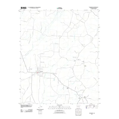
Editions of this 2024 Sparkman Map
This is the sole edition of this map. No revisions or reprints were ever made.
Historical Maps of Sparkman Through Time
6 maps found