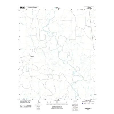
2011 Map of Sparkman NW
USGS Topo · Published 2011About this map
The Ouachita River meanders through this portion of Dallas County, shaping a landscape defined by its intricate system of tributaries and wetlands. Large oxbows and stagnant water bodies such as Long Lake and Round Lake speak to the river's historical shifting path. The rural character of the region is anchored by the small settlements of Fairview and Shakertown, connected by a network of local routes like Old River Rd and Niks Ferry Rd.
Find a feature on this map
54 named features on this map. Tap any name to fly to it.
Don’t see what you’re looking for? This feature index may not catch every label — zoom into the map to look around manually.
Map Details
Editions of this 2011 Sparkman NW Map
This is the sole edition of this map. No revisions or reprints were ever made.
Other maps of this area

1901 · Gurdon
USGS Topo · 1:125,000

1903 · Camden
USGS Topo · 1:125,000

1953 · El Dorado
USGS Topo · 1:250,000

1955 · Little Rock
USGS Topo · 1:250,000

1956 · Little Rock
USGS Topo · 1:250,000

1957 · El Dorado
USGS Topo · 1:250,000

1958 · El Dorado
USGS Topo · 1:250,000

1959 · Arkadelphia
USGS Topo · 1:24,000

1960 · El Dorado
USGS Topo · 1:250,000

1960 · Little Rock
USGS Topo · 1:250,000