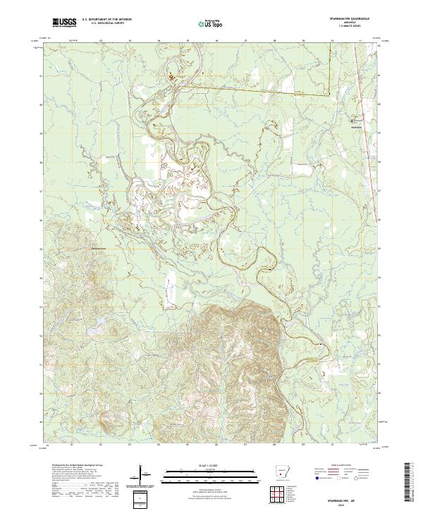
2024 Map of Sparkman NW
USGS Topo · Published 2024About this map
The Ouachita River meanders through the heart of this landscape, defining the border between Clark and Dallas counties. This riverine environment is shaped by complex water systems, including the White Oak Slough and multiple oxbows like Long Lake and Round Lake. The surrounding terrain is crisscrossed by established rural routes such as Nix's Ferry Rd and Daughty Island Rd, which trace the history of river crossings and island access in this corner of Arkansas.
Find a feature on this map
59 named features on this map. Tap any name to fly to it.
Don’t see what you’re looking for? This feature index may not catch every label — zoom into the map to look around manually.
Map Details
Editions of this 2024 Sparkman NW Map
This is the sole edition of this map. No revisions or reprints were ever made.
Other maps of this area

1901 · Gurdon
USGS Topo · 1:125,000

1903 · Camden
USGS Topo · 1:125,000

1953 · El Dorado
USGS Topo · 1:250,000

1955 · Little Rock
USGS Topo · 1:250,000

1956 · Little Rock
USGS Topo · 1:250,000

1957 · El Dorado
USGS Topo · 1:250,000

1958 · El Dorado
USGS Topo · 1:250,000

1959 · Arkadelphia
USGS Topo · 1:24,000

1960 · El Dorado
USGS Topo · 1:250,000

1960 · Little Rock
USGS Topo · 1:250,000