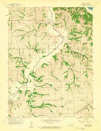
1959 Map of Sparks
USGS Topo · Published 1960About this map
The Iowa Sac and Fox Indian Mission stands near the northern edge of this survey, marking a significant site of regional history just west of Sparks. The landscape is defined by the winding course of the Wolf River, which draws a deep valley through the center of the quadrangle as it moves toward its eventual confluence with the Missouri R. Settled pockets like Fanning, Moray, and Severance are linked by the steel of the Union Pacific and Chicago Rock Island and Pacific railroads, which track alongside the river and its many tributaries, including Kenney Creek and Cold Springs Branch. Genealogical interest is scattered across the uplands at the Iola Cem, Fanning Cem, and Wolf River Cem. One-room schoolhouses like Buffalo Sch and Hickory Grove Sch anchor the rural landscape, while local industry is noted by several quarries carved into the bluffs.
Find a feature on this map
35 named features on this map. Tap any name to fly to it.
Don’t see what you’re looking for? This feature index may not catch every label — zoom into the map to look around manually.
Map Details
Editions of this 1959 Sparks Map
2 editions found
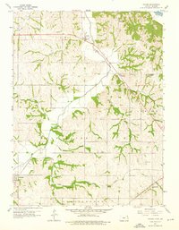
Other maps of this area

1885 · Atchison
USGS Topo · 1:125,000

1888 · Atchison
USGS Topo · 1:125,000

1893 · Atchison
USGS Topo · 1:125,000

1926 · Atchison
USGS Topo · 1:62,500

1926 · Oregon
USGS Topo · 1:62,500

1950 · Kansas City
USGS Topo · 1:250,000

1954 · Kansas City
USGS Topo · 1:250,000

1956 · Kansas City
USGS Topo · 1:250,000
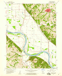
1959 · Oregon
USGS Topo · 1:24,000
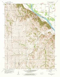
1959 · White Cloud
USGS Topo · 1:24,000