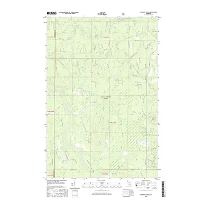
2017 Map of Sparrow Rapids
USGS Topo · Published 2017About this map
The Ottawa National Forest dominates this landscape in the western Upper Peninsula, where the border between Ontonagon and Houghton counties bisects a densely forested wilderness. The hydrology of the region is defined by the East Branch Ontonagon River, which winds through the southern portion of the quadrangle. Several notable water features characterize this area, including the namesake Sparrow Rapids and the drop of Onion Falls along Onion Cr.
Find a feature on this map
81 named features on this map. Tap any name to fly to it.
Don’t see what you’re looking for? This feature index may not catch every label — zoom into the map to look around manually.
Map Details
Editions of this 2017 Sparrow Rapids Map
This is the sole edition of this map. No revisions or reprints were ever made.
Other maps of this area

1949 · Rockland
USGS Topo · 1:62,500

1951 · Rockland
USGS Topo · 1:62,500

1952 · Watersmeet
USGS Topo · 1:62,500

1954 · Rousseau
USGS Topo · 1:62,500

1954 · Kenton
USGS Topo · 1:62,500

1958 · Iron River
USGS Topo · 1:250,000

1960 · Iron River
USGS Topo · 1:250,000

1961 · Iron River
USGS Topo · 1:250,000

1967 · Iron River
USGS Topo · 1:250,000

1979 · Ontonagon
USGS Topo · 1:100,000