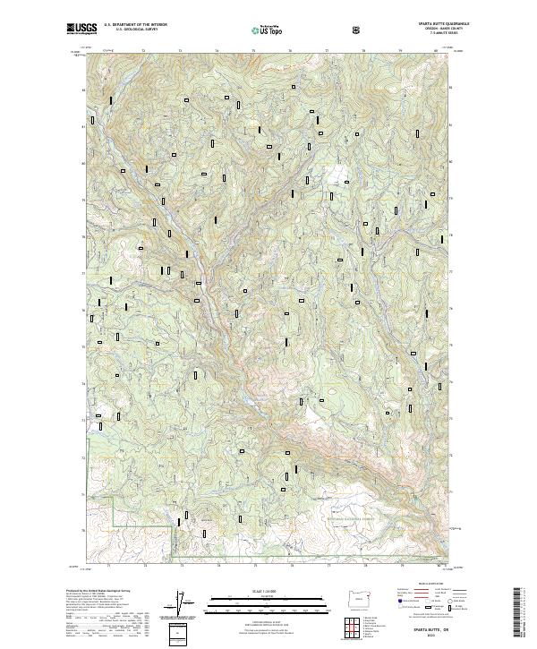
2023 Map of Sparta Butte
USGS Topo · Published 2023About this map
Eagle Creek Wild and Scenic River carves a deep path through this section of Baker County, where the southern boundary of the Eagle Cap Wilderness meets the northern reaches of the Whitman National Forest. The landscape is defined by its dramatic drainage systems, including Eagle Creek Canyon and the winding East Fork Eagle Creek. Toward the southern end of the sheet, Sparta Butte stands as a prominent landmark above Shanghai Creek and the small Stoddard Reservoir. This area has long been a destination for outdoor transit, shown here by a network of paths such as the Martin Bridge Trl and various snowmobile routes including the Empire Gulch Snowmobile Trl. The map details numerous smaller water sources, from Torchlight Spring to Holcomb Spring, which have supported activity in the complex terrain of Blue Canyon and Six Dollar Gulch.
Find a feature on this map
47 named features on this map. Tap any name to fly to it.
Don’t see what you’re looking for? This feature index may not catch every label — zoom into the map to look around manually.
Map Details
Editions of this 2023 Sparta Butte Map
This is the sole edition of this map. No revisions or reprints were ever made.
Other maps of this area

1915 · Pine
USGS Topo · 1:125,000

1954 · Cornucopia
USGS Topo · 1:62,500

1954 · Eagle Cap
USGS Topo · 1:62,500

1955 · Baker
USGS Topo · 1:250,000

1955 · Grangeville
USGS Topo · 1:250,000

1957 · Halfway
USGS Topo · 1:62,500

1957 · Sparta
USGS Topo · 1:62,500

1959 · Baker
USGS Topo · 1:250,000

1959 · Grangeville
USGS Topo · 1:250,000

1981 · Baker
USGS Topo · 1:100,000