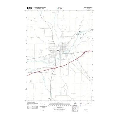
2010 Map of Sparta
USGS Topo · Published 2010About this map
The La Crosse River carves a central path through this portion of Monroe County, anchoring the city of Sparta and the smaller settlements of Angelo and Leon. The landscape is defined by the intersection of water and industry, visible in features like the Paper Mill Dam on Perch Lake 143 and the Angelo H629.3 Dam which creates the Angelo 131 Reservoir. These waterworks reflect a long history of utilizing the river's power.
Find a feature on this map
68 named features on this map. Tap any name to fly to it.
Don’t see what you’re looking for? This feature index may not catch every label — zoom into the map to look around manually.
Map Details
Editions of this 2010 Sparta Map
This is the sole edition of this map. No revisions or reprints were ever made.
Other maps of this area

1909 · Sparta
USGS Topo · 1:62,500

1916 · Tomah
USGS Topo · 1:62,500

1928 · Melrose
USGS Topo · 1:48,000

1947 · Millston
USGS Topo · 1:62,500

1947 · Sparta
USGS Topo · 1:62,500

1949 · Millston
USGS Topo · 1:62,500

1949 · Sparta
USGS Topo · 1:62,500

1949 · Tomah
USGS Topo · 1:62,500

1949 · Melrose
USGS Topo · 1:62,500

1953 · Eau Claire
USGS Topo · 1:250,000