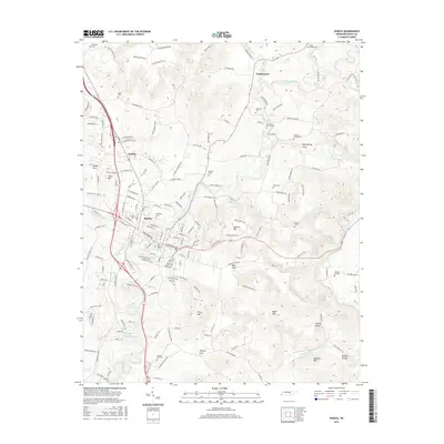
2016 Map of Sparta
USGS Topo · Published 2016About this map
The Calfkiller River winds southward through this 2016 survey of White County, anchoring the town of Sparta and its surrounding communities. The landscape is characterized by its distinct coves and peaks, where the valley floors of Blue Spring Cove and Bear Cove meet the rising elevations of Dibrell Mtn and Story Mtn. The settlement pattern reflects deep roots, with numerous small burial grounds such as the Old Sparta Cem and Snodgrass Cem marking family and community heritage sites across the terrain.
Find a feature on this map
158 named features on this map. Tap any name to fly to it.
Don’t see what you’re looking for? This feature index may not catch every label — zoom into the map to look around manually.
Map Details
Editions of this 2016 Sparta Map
This is the sole edition of this map. No revisions or reprints were ever made.
Other maps of this area

1892 · Pikeville
USGS Topo · 1:125,000

1893 · Mc Minnville
USGS Topo · 1:125,000

1895 · Mc Minnville
USGS Topo · 1:125,000

1895 · Pikeville
USGS Topo · 1:125,000

1897 · Standingstone
USGS Topo · 1:125,000

1898 · Standingstone
USGS Topo · 1:125,000

1943 · Cookeville
USGS Topo · 1:100,000

1944 · Cookeville
USGS Topo · 1:100,000

1953 · Chattanooga
USGS Topo · 1:250,000

1954 · De Rossett
USGS Topo · 1:24,000