
1954 Map of De Rossett
USGS Topo · Published 1955About this map
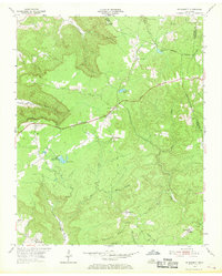
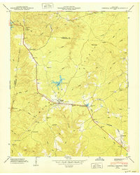
The Cumberland Plateau in White County reveals a landscape shaped by both coal industry and ridge-top settlement in the mid-1950s. Communities like Ravenscroft and De Rossett sit along the high ground, connected by the arterial route of Broadway. This era shows significant industrial activity etched into the terrain, including a prominent Strip Mine and various Quarries scattered near the southern boundary. Small-scale rural life is evidenced by the presence of St Charles Ch and the Bon Air Cem, while the landscape is defined by the steep descent from Chestnut Mountain into the drainage of Lost Creek. The map also captures recreation and leisure of the time at Camp Belle-Aire near Spain Lake, illustrating the post-war transition of the region from purely extractive industry to more varied land uses.
Find a feature on this map
34 named features on this map. Tap any name to fly to it.
Don’t see what you’re looking for? This feature index may not catch every label — zoom into the map to look around manually.
Map Details
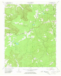
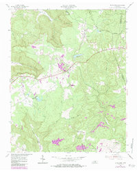
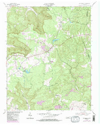
Editions of this 1954 De Rossett Map
5 editions found
Other maps of this area

1892 · Pikeville
USGS Topo · 1:125,000

1895 · Pikeville
USGS Topo · 1:125,000

1897 · Standingstone
USGS Topo · 1:125,000

1898 · Standingstone
USGS Topo · 1:125,000

1912 · Crossville
USGS Topo · 1:62,500

1935 · Campbell Junction
USGS Topo · 1:24,000

1943 · Cookeville
USGS Topo · 1:100,000

1944 · Cookeville
USGS Topo · 1:100,000

1946 · Campbell Junction
USGS Topo · 1:24,000
1950 · Campbell Junction
USGS Topo · 1:24,000