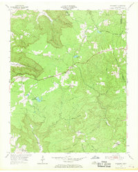
1954 Map of De Rossett
USGS Topo · Published 1969About this map
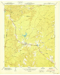
Coal and timber interests define this portion of the Cumberland Plateau, where the legacy of industrial extraction is etched into the landscape. Small mining and company settlements like Ravenscroft and Bon Air sit atop the ridge, connected by the historical Broadway 1872 corridor. The terrain is deeply incised by drainages such as Clifty Creek and Little Lost Creek, which drop away from the plateau into rugged coves like Blue Spring Cove. Evidence of mid-century industrial activity is scattered across the heights, including multiple Quarries and a Strip Mine. Local life centers on traditional landmarks like St Charles Ch and the Bon Air Cem, while the Lookout Tower on Chestnut Mountain provides a strategic vantage point over the intersection of White, Putnam, and Cumberland counties.
Find a feature on this map
35 named features on this map. Tap any name to fly to it.
Don’t see what you’re looking for? This feature index may not catch every label — zoom into the map to look around manually.
Map Details
Editions of this 1954 De Rossett Map
5 editions found

Other maps of this area

1892 · Pikeville
USGS Topo · 1:125,000

1895 · Pikeville
USGS Topo · 1:125,000

1897 · Standingstone
USGS Topo · 1:125,000

1898 · Standingstone
USGS Topo · 1:125,000

1912 · Crossville
USGS Topo · 1:62,500

1935 · Campbell Junction
USGS Topo · 1:24,000

1943 · Cookeville
USGS Topo · 1:100,000

1944 · Cookeville
USGS Topo · 1:100,000

1946 · Campbell Junction
USGS Topo · 1:24,000
1950 · Campbell Junction
USGS Topo · 1:24,000