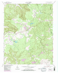
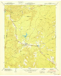
1954 Map of De Rossett
USGS Topo · Published 1984About this map
Ravenscroft and De Rossett anchor this mid-century portrait of the Cumberland Plateau, where the rugged terrain is carved by the intricate drainage of Clifty Creek and Big Lost Creek. The map documents a landscape defined by small ridge-top settlements and coal-mining history, with communities like Bon Air and Clarktown connected by the prominent America and Broadway thoroughfares. The 1984 photorevisions highlight changes in land use, including several Quarries and the development of Camp Belle Aire near Spain Lake. Local history and genealogy are preserved through detailed labels for the Bon Air Cem, Anderson Cem, and the remote St Charles Ch in the southern reaches. From the elevations of Chestnut Mountain to the depths of Geer Cove Branch, the sheet illustrates the persistent rural character of this White County highlands area during the mid-to-late 20th century.
Find a feature on this map
31 named features on this map. Tap any name to fly to it.
Don’t see what you’re looking for? This feature index may not catch every label — zoom into the map to look around manually.
Map Details
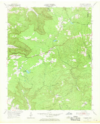
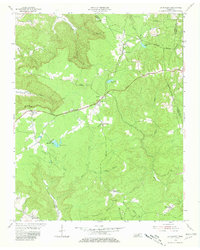
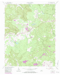
Editions of this 1954 De Rossett Map
5 editions found

Other maps of this area

1892 · Pikeville
USGS Topo · 1:125,000

1895 · Pikeville
USGS Topo · 1:125,000

1897 · Standingstone
USGS Topo · 1:125,000

1898 · Standingstone
USGS Topo · 1:125,000

1912 · Crossville
USGS Topo · 1:62,500

1935 · Campbell Junction
USGS Topo · 1:24,000

1943 · Cookeville
USGS Topo · 1:100,000

1944 · Cookeville
USGS Topo · 1:100,000

1946 · Campbell Junction
USGS Topo · 1:24,000
1950 · Campbell Junction
USGS Topo · 1:24,000