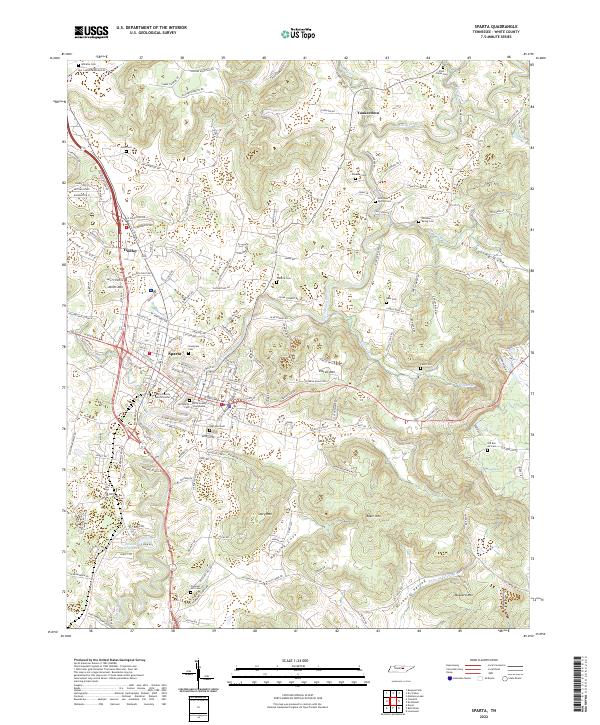
2022 Map of Sparta
USGS Topo · Published 2022About this map
Sparta serves as the focal point of this Tennessee survey, situated along the meandering path of the Calfkiller River. The landscape is a complex arrangement of highland ridges and sheltered basins, most notably Hasting Cove and Bear Cove to the south and east. The town's historical foundations are visible in the layout of central landmarks like the White County Courthouse and the White County Justice Center, surrounded by numerous generational burial grounds including Old Sparta Cem and Highland Cem. To the north and west, smaller communities like Findlay and Yankeetown are integrated into the terrain of Miller Mtn and Walker Cove. The map also details more remote reaches of the county, where landmarks like Buzzard Mtn and Story Mtn rise above the Hickory Valley, illustrating the persistent rural character of the region beyond the central hub.
Find a feature on this map
156 named features on this map. Tap any name to fly to it.
Don’t see what you’re looking for? This feature index may not catch every label — zoom into the map to look around manually.
Map Details
Editions of this 2022 Sparta Map
This is the sole edition of this map. No revisions or reprints were ever made.
Other maps of this area

1892 · Pikeville
USGS Topo · 1:125,000

1893 · Mc Minnville
USGS Topo · 1:125,000

1895 · Mc Minnville
USGS Topo · 1:125,000

1895 · Pikeville
USGS Topo · 1:125,000

1897 · Standingstone
USGS Topo · 1:125,000

1898 · Standingstone
USGS Topo · 1:125,000

1943 · Cookeville
USGS Topo · 1:100,000

1944 · Cookeville
USGS Topo · 1:100,000

1953 · Chattanooga
USGS Topo · 1:250,000

1954 · De Rossett
USGS Topo · 1:24,000