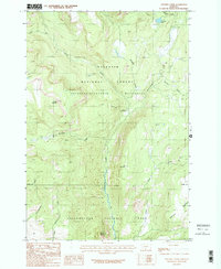
1987 Map of Specimen Creek
USGS Topo · Published 1987About this map
Yellowstone National Park and the Absaroka-Beartooth Wilderness converge in this high-altitude landscape where the Gallatin National Forest transitions into the park's northern reaches. The drainage of Hellroaring Creek dominates the central topography, flowing south toward an indefinite boundary that separates Park County from the protected interior. Human presence is limited to backcountry management and primitive transit, evidenced by the Hellroaring Ranger Station and a network of named paths such as the Poacher Trail. Notable peaks like Horse Mountain and Bull Mountain overlook steep drainages including Specimen Creek and the West Fork. The southeastern corner rises toward the Buffalo Plateau, while several smaller water bodies like Carpenter Lake dot the northern terrain. This survey documents the intersection of multiple federal land designations before more recent modifications to wilderness management boundaries.
Find a feature on this map
23 named features on this map. Tap any name to fly to it.
Don’t see what you’re looking for? This feature index may not catch every label — zoom into the map to look around manually.
Map Details
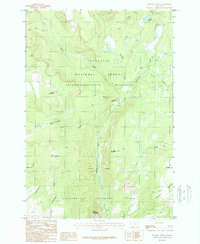
Editions of this 1987 Specimen Creek Map
2 editions found
Other maps of this area

1885 · Gallatin
USGS Topo · 1:125,000

1885 · Gallatin
USGS Topo · 1:125,000

1886 · Canyon
USGS Topo · 1:125,000

1891 · Livingston
USGS Topo · 1:250,000

1893 · Livingston
USGS Topo · 1:250,000

1895 · Canyon
USGS Topo · 1:125,000

1896 · Canyon
USGS Topo · 1:125,000

1901 · Canyon
USGS Topo · 1:125,000

1901 · Gallatin
USGS Topo · 1:125,000

1907 · Canyon
USGS Topo · 1:125,000