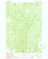
1987 Map of Specimen Creek
USGS Topo · Published 1987About this map
Yellowstone National Park and the Gallatin National Forest intersect in this high-altitude landscape within Park County, Montana. The terrain is defined by the drainage systems of Specimen Creek and Hellroaring Creek, which flow through the protected reaches of the Absaroka-Beartooth Wilderness. A central administrative point is found at the Hellroaring Ranger Station, marking a node of human presence in an area otherwise dominated by peaks like Horse Mountain and Bull Mountain.
Find a feature on this map
22 named features on this map. Tap any name to fly to it.
Don’t see what you’re looking for? This feature index may not catch every label — zoom into the map to look around manually.
Map Details
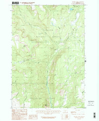
Editions of this 1987 Specimen Creek Map
2 editions found
Other maps of this area

1885 · Gallatin
USGS Topo · 1:125,000

1885 · Gallatin
USGS Topo · 1:125,000

1886 · Canyon
USGS Topo · 1:125,000

1891 · Livingston
USGS Topo · 1:250,000

1893 · Livingston
USGS Topo · 1:250,000

1895 · Canyon
USGS Topo · 1:125,000

1896 · Canyon
USGS Topo · 1:125,000

1901 · Canyon
USGS Topo · 1:125,000

1901 · Gallatin
USGS Topo · 1:125,000

1907 · Canyon
USGS Topo · 1:125,000