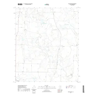
2019 Map of Speck Mountain
USGS Topo · Published 2019About this map
Rockwood sits at the southwestern edge of this West Texas landscape, where the terrain is defined by the winding course of Home Creek and its various tributaries like Dry Cr and Hay Cr. The map reveals a land utilized for ranching and water management, evidenced by La Vista Ranch and several large basins including the Soil Conservation Service Site 18 Reservoir. Prominent topographical features such as Speck Mtn and the sharp turn of Horseshoe Bend dominate the eastern half of the quadrangle. For those researching local family histories, the locations of Stewardson Cem and Five Ashes Cem are clearly marked, providing vital geographic context for ancestral homesteads in Coleman County. The network of county and private roads, such as Whon Rd and Wise Ranch Rd, illustrates the modern rural connectivity of this ranching country.
Find a feature on this map
39 named features on this map. Tap any name to fly to it.
Don’t see what you’re looking for? This feature index may not catch every label — zoom into the map to look around manually.
Map Details
Editions of this 2019 Speck Mountain Map
This is the sole edition of this map. No revisions or reprints were ever made.
Other maps of this area

1887 · Coleman
USGS Topo · 1:125,000

1889 · Coleman
USGS Topo · 1:125,000

1894 · Brady
USGS Topo · 1:125,000

1924 · Brady 2-a
USGS Topo · 1:48,000

1925 · Brady 2-b
USGS Topo · 1:48,000

1925 · Brady 1-b
USGS Topo · 1:48,000

1928 · Mercury
USGS Topo · 1:62,500

1928 · Waldrip
USGS Topo · 1:62,500

1950 · Mercury
USGS Topo · 1:62,500

1954 · Brownwood
USGS Topo · 1:250,000