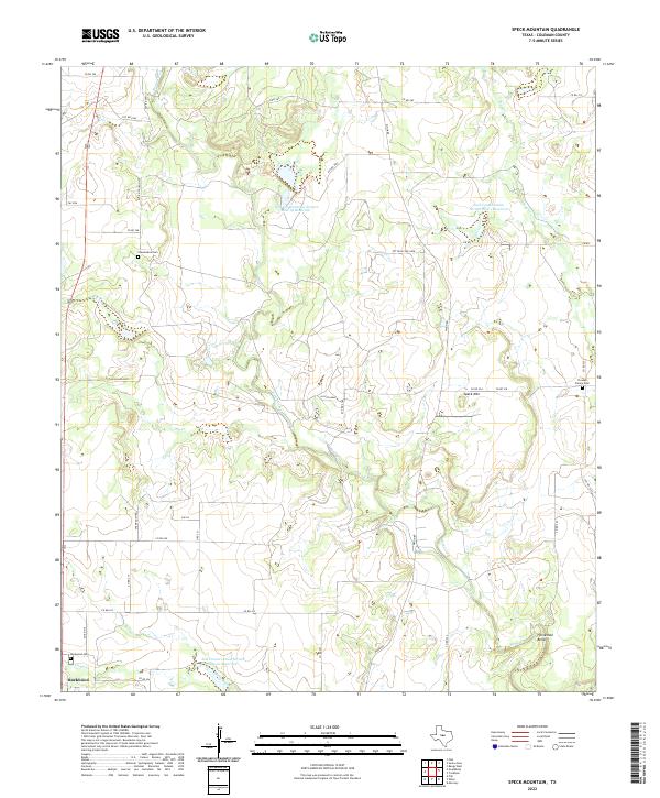
2022 Map of Speck Mountain
USGS Topo · Published 2022About this map
Rockwood anchors the southwestern corner of this West Texas landscape, where the drainage of Home Creek and its many tributaries define the local geography. The map reflects a rural economy dependent on water management, evidenced by multiple catchment projects like the Soil Conservation Service Site 18 Reservoir and Soil Conservation Service Site 1 Reservoir. Genealogists will find several small burial grounds scattered across the terrain, including Stewardson Cem, Fiveash Family Cem, and Rockwood Cem, which serve as quiet markers of the area's family-held ranching history.
Find a feature on this map
40 named features on this map. Tap any name to fly to it.
Don’t see what you’re looking for? This feature index may not catch every label — zoom into the map to look around manually.
Map Details
Editions of this 2022 Speck Mountain Map
This is the sole edition of this map. No revisions or reprints were ever made.
Other maps of this area

1887 · Coleman
USGS Topo · 1:125,000

1889 · Coleman
USGS Topo · 1:125,000

1894 · Brady
USGS Topo · 1:125,000

1924 · Brady 2-a
USGS Topo · 1:48,000

1925 · Brady 2-b
USGS Topo · 1:48,000

1925 · Brady 1-b
USGS Topo · 1:48,000

1928 · Mercury
USGS Topo · 1:62,500

1928 · Waldrip
USGS Topo · 1:62,500

1950 · Mercury
USGS Topo · 1:62,500

1954 · Brownwood
USGS Topo · 1:250,000