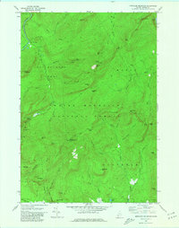
1970 Map of Speckled Mountain
USGS Topo · Published 1981About this map
White Mountain National Forest dominates this topographic survey of the Oxford region, revealing a landscape defined by prominent peaks and mountain passes. The high elevation of Speckled Mtn is marked by the Speckled Mtn Lookout Tower, a critical fire suppression point overlooking Batchelders Grant and Mason. Travel through this vertical terrain is constrained to narrow gaps like Evans Notch and Haystack Notch, where several overlooks provide views of the Cold River and Wild River.
Find a feature on this map
68 named features on this map. Tap any name to fly to it.
Don’t see what you’re looking for? This feature index may not catch every label — zoom into the map to look around manually.
Map Details
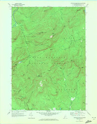
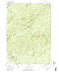
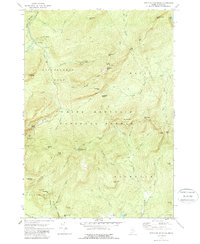
Editions of this 1970 Speckled Mountain Map
4 editions found
Other maps of this area

1893 · Gorham
USGS Topo · 1:62,500

1894 · North Conway
USGS Topo · 1:62,500

1896 · North Conway
USGS Topo · 1:62,500

1896 · Gorham
USGS Topo · 1:62,500

1909 · Fryeburg
USGS Topo · 1:62,500

1911 · Fryeburg
USGS Topo · 1:62,500

1914 · Bethel
USGS Topo · 1:62,500

1937 · Gorham
USGS Topo · 1:48,000

1940 · Bethel
USGS Topo · 1:62,500

1941 · Bethel
USGS Topo · 1:62,500