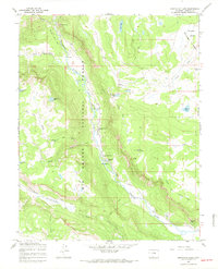
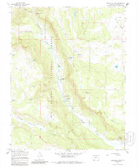
1967 Map of Spectacle Lake
USGS Topo · Published 1969About this map
The Conejos River carves a central corridor through this section of the Rio Grande National Forest, serving as the primary artery for both water and human activity in the late 1960s. The river valley supports established outposts like Thomas Ranch and the Rocky Mountain Lodge, illustrating a landscape shared between ranching operations and mountain recreation. High-altitude wetlands and glacial features define the surrounding terrain, from the Chicago Bogs in the northeast to the alpine basins containing Spectacle Lake and La Grulla Lake.
Find a feature on this map
39 named features on this map. Tap any name to fly to it.
Don’t see what you’re looking for? This feature index may not catch every label — zoom into the map to look around manually.
Map Details
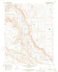
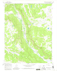
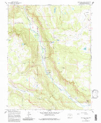
Editions of this 1967 Spectacle Lake Map
5 editions found
Other maps of this area

1913 · Summitville
USGS Topo · 1:125,000

1915 · Summitville
USGS Topo · 1:125,000

1922 · Conejos
USGS Topo · 1:125,000

1945 · Durango
USGS Topo · 1:250,000

1953 · Durango
USGS Topo · 1:250,000

1954 · Durango
USGS Topo · 1:250,000

1957 · Chama Peak
USGS Topo · 1:62,500

1961 · Durango
USGS Topo · 1:250,000

1963 · Durango
USGS Topo · 1:250,000

1966 · Durango
USGS Topo · 1:250,000