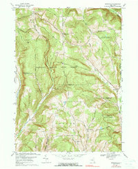
1969 Map of Speedsville
USGS Topo · Published 1990About this map
Speedsville sits at the intersection of several creek valleys in this 1969 survey, where the West Branch Owego Creek and Boyer Creek converge near the border of Caroline and Candor. The landscape is defined by significant public lands including Shindagin Hollow State Forest and Potato Hill State Forest. These protected areas preserve high ridges like Legg Hill and Bald Mtn, contrasting with the small agricultural clearings at Guide Board Corners and Caroline Center.
Find a feature on this map
37 named features on this map. Tap any name to fly to it.
Don’t see what you’re looking for? This feature index may not catch every label — zoom into the map to look around manually.
Map Details
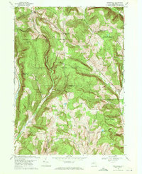
Editions of this 1969 Speedsville Map
2 editions found
Other maps of this area

1900 · Dryden
USGS Topo · 1:62,500

1901 · Apalachin
USGS Topo · 1:62,500

1903 · Owego
USGS Topo · 1:62,500

1903 · Harford
USGS Topo · 1:62,500

1904 · Apalachin
USGS Topo · 1:62,500

1906 · Catatonk
USGS Topo · 1:125,000

1949 · Ithaca East
USGS Topo · 1:24,000

1949 · Willseyville
USGS Topo · 1:24,000
1949 · Dryden
USGS Topo · 1:24,000

1949 · Speedsville
USGS Topo · 1:24,000