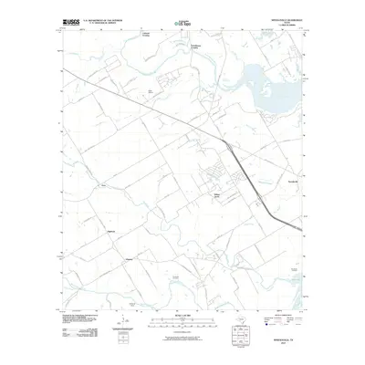
2010 Map of Speegleville
USGS Topo · Published 2010About this map
The Middle Bosque River and North Bosque River converge near the western reaches of Waco Lake, defining a landscape where rural Texas history meet modern residential expansion. This 2010 survey shows the area around Speegleville and Ocee during a period of transition, with numerous subdivisions and residential streets like Ole School Pkwy and Lady Bird Rd carving through former ranch land. Genealogy researchers will find several well-defined burial grounds, including Evergreen Cemetery and McLennan Cemetery, alongside established local landmarks such as Scott Airport. The map also captures the geographic legacy of the region through named river crossings like Caldwell Crossing and Eichelberger Crossing, which hint at early transit patterns across the river forks before the contemporary development of communities like Windsor and Highland.
Find a feature on this map
77 named features on this map. Tap any name to fly to it.
Don’t see what you’re looking for? This feature index may not catch every label — zoom into the map to look around manually.
Map Details
Editions of this 2010 Speegleville Map
This is the sole edition of this map. No revisions or reprints were ever made.
Other maps of this area

1892 · Temple
USGS Topo · 1:125,000

1892 · Waco
USGS Topo · 1:125,000

1920 · Waco
USGS Topo · 1:125,000

1924 · Waco 4-c
USGS Topo · 1:48,000

1924 · Waco 3-d
USGS Topo · 1:48,000

1931 · Valley Mills
USGS Topo · 1:62,500

1931 · Elm Mott
USGS Topo · 1:62,500

1931 · Mc Gregor
USGS Topo · 1:62,500

1954 · Waco
USGS Topo · 1:250,000

1955 · Waco
USGS Topo · 1:250,000