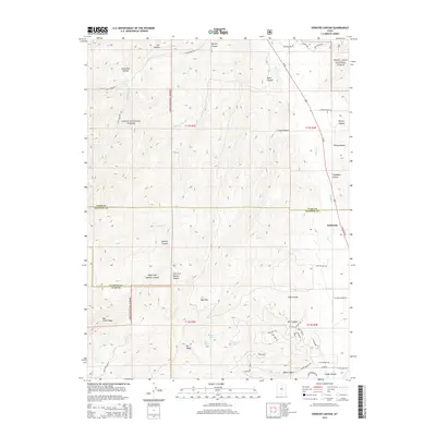
2014 Map of Spencer Canyon
USGS Topo · Published 2014About this map
The settlement of Indianola sits at the eastern edge of this landscape, situated along the corridor of Us-89. This area represents a significant convergence of public lands, where the Uinta National Forest and Manti-Lasal National Forest meet across the borders of Utah, Sanpete, and Juab counties. The terrain is defined by complex drainage systems, with Thistle Cr and Nebo Cr carving deep through the high country. High-elevation features like Mt Baldy overlook a series of small, isolated water bodies including Madsen Lake, Blind Lake, and Hartney Lake. The map details an intricate network of forest trails and backcountry roads such as Porcupine Loop and Lightfoot Trl, reflecting the area's transition from a highway-accessible valley to the high ridges of Hop Creek Ridge.
Find a feature on this map
62 named features on this map. Tap any name to fly to it.
Don’t see what you’re looking for? This feature index may not catch every label — zoom into the map to look around manually.
Map Details
Editions of this 2014 Spencer Canyon Map
This is the sole edition of this map. No revisions or reprints were ever made.
Other maps of this area

1885 · Manti
USGS Topo · 1:250,000

1895 · Manti
USGS Topo · 1:250,000

1951 · Moroni
USGS Topo · 1:62,500

1952 · Santaquin Peak
USGS Topo · 1:62,500

1956 · Price
USGS Topo · 1:250,000

1960 · Price
USGS Topo · 1:250,000

1962 · Price
USGS Topo · 1:250,000
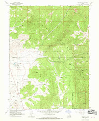
1967 · Indianola
USGS Topo · 1:24,000
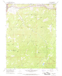
1967 · Thistle
USGS Topo · 1:24,000
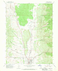
1967 · Fairview
USGS Topo · 1:24,000