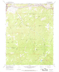
1967 Map of Thistle
USGS Topo · Published 1969About this map
The Thistle rail junction and its surrounding canyon landscape are centered in this late 1960s study, where the Denver & Rio Grande Western railroad winds through Spanish Fork Canyon. This area marks a critical infrastructure point where the Thistle Substation and a Gaging Station serve the narrow corridor between the Uinta National Forest and the Manti-La Sal National Forest.
Find a feature on this map
53 named features on this map. Tap any name to fly to it.
Don’t see what you’re looking for? This feature index may not catch every label — zoom into the map to look around manually.
Map Details
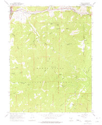
Editions of this 1967 Thistle Map
2 editions found
Other maps of this area

1885 · Salt Lake
USGS Topo · 1:250,000

1885 · Manti
USGS Topo · 1:250,000

1895 · Manti
USGS Topo · 1:250,000

1907 · Strawberry Valley
USGS Topo · 1:125,000

1909 · Strawberry Valley
USGS Topo · 1:125,000

1949 · Provo
USGS Topo · 1:62,500

1949 · Spanish Fork Peak
USGS Topo · 1:24,000

1951 · Spanish Fork Peak
USGS Topo · 1:24,000

1952 · Santaquin Peak
USGS Topo · 1:62,500

1954 · Salt Lake City
USGS Topo · 1:250,000