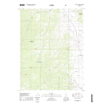
2020 Map of Spencer Canyon
USGS Topo · Published 2020About this map
Indianola stands as a primary point of settlement on this high-elevation landscape, situated where Thistle Cr winds through the eastern canyons. The geography is defined by the meeting of major public lands, including the Manti-La Sal National Forest and Uinta National Forest. The map documents a complex network of drainages and named hollows, from Gods Rock Hollow in the northwest to Hjorth Canyon and Thompson Hollow in the east.
Find a feature on this map
54 named features on this map. Tap any name to fly to it.
Don’t see what you’re looking for? This feature index may not catch every label — zoom into the map to look around manually.
Map Details
Editions of this 2020 Spencer Canyon Map
This is the sole edition of this map. No revisions or reprints were ever made.
Other maps of this area

1885 · Manti
USGS Topo · 1:250,000

1895 · Manti
USGS Topo · 1:250,000

1951 · Moroni
USGS Topo · 1:62,500

1952 · Santaquin Peak
USGS Topo · 1:62,500

1956 · Price
USGS Topo · 1:250,000

1960 · Price
USGS Topo · 1:250,000

1962 · Price
USGS Topo · 1:250,000
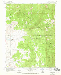
1967 · Indianola
USGS Topo · 1:24,000
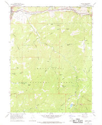
1967 · Thistle
USGS Topo · 1:24,000
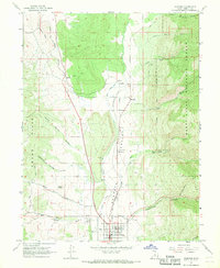
1967 · Fairview
USGS Topo · 1:24,000