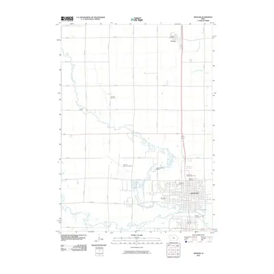
2010 Map of Spencer
USGS Topo · Published 2010About this map
The confluence of the Little Sioux River and the Ocheyedan River dominates the southern landscape of Spencer, Clay County. This 2010 survey illustrates the city's established footprint, centered around its grid-pattern streets and civic anchors like the Clay County Fairground and Riverside Cemetery. The map extends north through the agricultural township grid to the settlement of Fostoria, where the Fostoria Post Office stands near the northern boundary.
Find a feature on this map
39 named features on this map. Tap any name to fly to it.
Don’t see what you’re looking for? This feature index may not catch every label — zoom into the map to look around manually.
Map Details
Editions of this 2010 Spencer Map
This is the sole edition of this map. No revisions or reprints were ever made.
Other maps of this area

1954 · Fairmont
USGS Topo · 1:250,000

1958 · Fairmont
USGS Topo · 1:250,000

1966 · Spencer
USGS Topo · 1:24,000

1966 · Gillett Grove
USGS Topo · 1:24,000

1966 · Greenville
USGS Topo · 1:24,000

1966 · Dickens
USGS Topo · 1:24,000

1970 · Milford
USGS Topo · 1:24,000

1970 · Everly
USGS Topo · 1:24,000

1970 · Royal
USGS Topo · 1:24,000

1970 · Spirit Lake SE
USGS Topo · 1:24,000