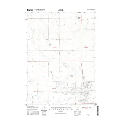
2015 Map of Spencer
USGS Topo · Published 2015About this map
The Little Sioux River and Ocheyedan River converge in the southern reaches of Spencer, Clay County, creating a riparian corridor that shapes the local landscape. This 2015 layout reveals the modern urban footprint of Spencer, showing a dense grid of streets like W Milwaukee St and E 19th St that transition into the sprawling agricultural sections of the north. Significant local landmarks include the Spencer Municipal Airport and several dedicated burial grounds such as Riverside Cem and Northlawn Memorial Cem.
Find a feature on this map
63 named features on this map. Tap any name to fly to it.
Don’t see what you’re looking for? This feature index may not catch every label — zoom into the map to look around manually.
Map Details
Editions of this 2015 Spencer Map
This is the sole edition of this map. No revisions or reprints were ever made.
Other maps of this area

1954 · Fairmont
USGS Topo · 1:250,000

1958 · Fairmont
USGS Topo · 1:250,000

1966 · Spencer
USGS Topo · 1:24,000

1966 · Gillett Grove
USGS Topo · 1:24,000

1966 · Greenville
USGS Topo · 1:24,000

1966 · Dickens
USGS Topo · 1:24,000

1970 · Milford
USGS Topo · 1:24,000

1970 · Everly
USGS Topo · 1:24,000

1970 · Royal
USGS Topo · 1:24,000

1970 · Spirit Lake SE
USGS Topo · 1:24,000