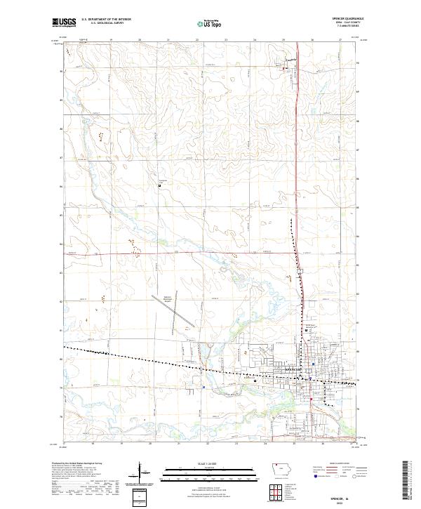
2022 Map of Spencer
USGS Topo · Published 2022About this map
The Little Sioux River meanders through the heart of Spencer, meeting the Ocheyedan River just south of the town center. This 2022 survey captures the modern geography of Clay County, Iowa, highlighting the regional importance of Spencer as a county seat. The downtown area is anchored by the Clay County Courthouse, while the surrounding landscape reflects the organized township-and-range system. To the north, the smaller settlement of Fostoria sits along the highway corridor, surrounded by the high plains of the t97n r37w and t97n r36w townships.
Find a feature on this map
22 named features on this map. Tap any name to fly to it.
Don’t see what you’re looking for? This feature index may not catch every label — zoom into the map to look around manually.
Map Details
Editions of this 2022 Spencer Map
This is the sole edition of this map. No revisions or reprints were ever made.
Other maps of this area

1954 · Fairmont
USGS Topo · 1:250,000

1958 · Fairmont
USGS Topo · 1:250,000

1966 · Spencer
USGS Topo · 1:24,000

1966 · Gillett Grove
USGS Topo · 1:24,000

1966 · Greenville
USGS Topo · 1:24,000

1966 · Dickens
USGS Topo · 1:24,000

1970 · Milford
USGS Topo · 1:24,000

1970 · Everly
USGS Topo · 1:24,000

1970 · Royal
USGS Topo · 1:24,000

1970 · Spirit Lake SE
USGS Topo · 1:24,000