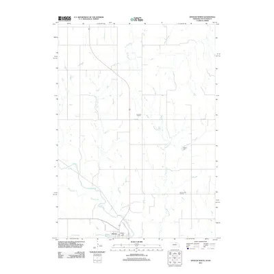
2011 Map of Spencer North
USGS Topo · Published 2011About this map
Spencer serves as the primary hub in this Boyd County landscape, situated along the southern edge of the quadrangle where N Park St and Road P18 St provide local access. The settlement's civic center is anchored by the Spencer Post Office, while the surrounding terrain is defined by a dense network of waterways, including the winding course of Ponca Creek and the southern reaches of Randall Creek.
Find a feature on this map
15 named features on this map. Tap any name to fly to it.
Don’t see what you’re looking for? This feature index may not catch every label — zoom into the map to look around manually.
Map Details
Editions of this 2011 Spencer North Map
This is the sole edition of this map. No revisions or reprints were ever made.
Other maps of this area

1951 · Bristow
USGS Topo · 1:24,000

1952 · Spencer South
USGS Topo · 1:24,000

1952 · Butte SE
USGS Topo · 1:24,000

1955 · Mitchell
USGS Topo · 1:250,000

1955 · O'Neill
USGS Topo · 1:250,000

1959 · O'Neill
USGS Topo · 1:250,000

1959 · Mitchell
USGS Topo · 1:250,000

1964 · Butte
USGS Topo · 1:24,000

1964 · Fort Randall Dam
USGS Topo · 1:24,000

1964 · Gross
USGS Topo · 1:24,000