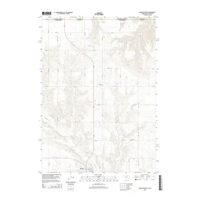
2014 Map of Spencer North
USGS Topo · Published 2014About this map
Spencer anchors this corner of Boyd County, where the plains of northern Nebraska meet the South Dakota border. The landscape is defined by the winding paths of Ponca Cr and Beaver Cr, which carve through the terrain as they flow toward the state line. Smaller watercourses like Randall Cr and Spring Cr drain into these larger tributaries, creating a network of draws and ridges across the region. Local water management is evident in features like Blitzkie Reservoir and Klasna Reservoir, which serve the agricultural needs of the area.
Find a feature on this map
33 named features on this map. Tap any name to fly to it.
Don’t see what you’re looking for? This feature index may not catch every label — zoom into the map to look around manually.
Map Details
Editions of this 2014 Spencer North Map
This is the sole edition of this map. No revisions or reprints were ever made.
Other maps of this area

1951 · Bristow
USGS Topo · 1:24,000

1952 · Spencer South
USGS Topo · 1:24,000

1952 · Butte SE
USGS Topo · 1:24,000

1955 · Mitchell
USGS Topo · 1:250,000

1955 · O'Neill
USGS Topo · 1:250,000

1959 · O'Neill
USGS Topo · 1:250,000

1959 · Mitchell
USGS Topo · 1:250,000

1964 · Butte
USGS Topo · 1:24,000

1964 · Fort Randall Dam
USGS Topo · 1:24,000

1964 · Gross
USGS Topo · 1:24,000