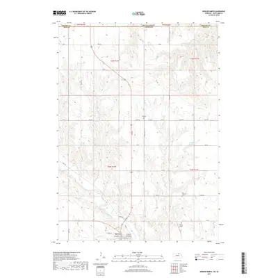
2017 Map of Spencer North
USGS Topo · Published 2017About this map
Spencer anchors the southern edge of this Boyd County landscape, situated along the winding course of Ponca Creek. The terrain is defined by a dense network of drainage systems, including Spring Cr, Beaver Cr, and Randall Cr, which carve through the Nebraska uplands toward the South Dakota border. This 2017 survey illustrates the rural infrastructure of the region, where a grid of section roads like Nordic Rd and Gross Rd connects remote homesteads and agricultural tracts. Local history and genealogy are preserved in the locations of Immanuel Cem and Old Immanuel Cem, providing spatial context for early settler family plots. To the north, the map documents smaller water management features such as Blitzkie Reservoir and Klasna Reservoir, alongside Huffy's Airport, which serves the local aviation needs of this northern Nebraska community.
Find a feature on this map
46 named features on this map. Tap any name to fly to it.
Don’t see what you’re looking for? This feature index may not catch every label — zoom into the map to look around manually.
Map Details
Editions of this 2017 Spencer North Map
This is the sole edition of this map. No revisions or reprints were ever made.
Other maps of this area

1951 · Bristow
USGS Topo · 1:24,000

1952 · Spencer South
USGS Topo · 1:24,000

1952 · Butte SE
USGS Topo · 1:24,000

1955 · Mitchell
USGS Topo · 1:250,000

1955 · O'Neill
USGS Topo · 1:250,000

1959 · O'Neill
USGS Topo · 1:250,000

1959 · Mitchell
USGS Topo · 1:250,000

1964 · Butte
USGS Topo · 1:24,000

1964 · Fort Randall Dam
USGS Topo · 1:24,000

1964 · Gross
USGS Topo · 1:24,000