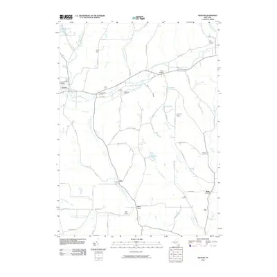
2010 Map of Spencer
USGS Topo · Published 2010About this map
Spencer and the valley of Catatonk Creek form the core of this Tioga County landscape, where agriculture and aviation meet among the hills. The map illustrates a network of small, established settlements and rural farms like Siren Farms and Locust Woods Farm, connected by winding routes such as Fisher Settlement RD. A significant number of burial grounds, including the Old Cemetery and Ferris Cemetery, are scattered across the terrain, offering deep geographic context for genealogists tracing family histories in the Southern Tier.
Find a feature on this map
76 named features on this map. Tap any name to fly to it.
Don’t see what you’re looking for? This feature index may not catch every label — zoom into the map to look around manually.
Map Details
Editions of this 2010 Spencer Map
This is the sole edition of this map. No revisions or reprints were ever made.
Other maps of this area

1893 · Ithaca
USGS Topo · 1:62,500

1895 · Ithaca
USGS Topo · 1:62,500

1900 · Dryden
USGS Topo · 1:62,500

1902 · Waverly
USGS Topo · 1:62,500

1903 · Owego
USGS Topo · 1:62,500

1905 · Watkins Glen
USGS Topo · 1:125,000

1906 · Catatonk
USGS Topo · 1:125,000

1949 · Willseyville
USGS Topo · 1:24,000

1949 · Speedsville
USGS Topo · 1:24,000

1950 · Elmira
USGS Topo · 1:250,000