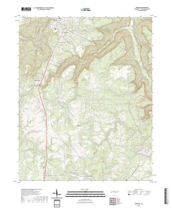
2022 Map of Spencer
USGS Topo · Published 2022About this map
Spencer serves as the focal point of this Van Buren County landscape, where the Van-Buren County Courthouse and Spencer Town Cem mark the historic center of the community. The town's layout is defined by a mix of traditional street names like Church St and Spring St alongside newer industrial developments such as Industrial Pkwy. The surrounding terrain is deeply incised by a network of coves and branches, including Lick Cove and Lost Cove, which dictate the winding paths of rural routes like Sodom Cemetery Rd.
Find a feature on this map
96 named features on this map. Tap any name to fly to it.
Don’t see what you’re looking for? This feature index may not catch every label — zoom into the map to look around manually.
Map Details
Editions of this 2022 Spencer Map
This is the sole edition of this map. No revisions or reprints were ever made.
Other maps of this area

1892 · Pikeville
USGS Topo · 1:125,000

1893 · Mc Minnville
USGS Topo · 1:125,000

1895 · Mc Minnville
USGS Topo · 1:125,000

1895 · Pikeville
USGS Topo · 1:125,000

1935 · Brockdell
USGS Topo · 1:24,000

1935 · Smart Mountain
USGS Topo · 1:24,000

1943 · Cookeville
USGS Topo · 1:100,000

1944 · Cookeville
USGS Topo · 1:100,000
1946 · Smartt Mountain
USGS Topo · 1:24,000
1946 · Brockdell
USGS Topo · 1:24,000