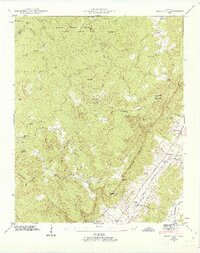
1946 Map of Brockdell
USGS Topo · Published 1963About this map
Falls Creek Falls State Park dominates the northern reaches of this landscape, where the plateau surface is deeply incised by drainages like Slaytons Fork and Devils Neck Creek. The terrain is defined by the dramatic Cumberland Escarpment, which drops sharply into the Sequatchie Valley to the southeast. Settlement patterns follow the topography, with higher-elevation communities like Brockdell and its associated Brockdell Ch and Pine Grove Sch situated on the relatively level ground of Brock Ridge.
Find a feature on this map
64 named features on this map. Tap any name to fly to it.
Don’t see what you’re looking for? This feature index may not catch every label — zoom into the map to look around manually.
Map Details
Editions of this 1946 Brockdell Map
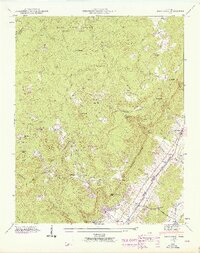
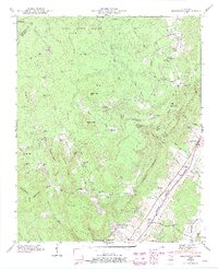
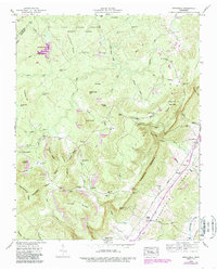
4 editions found
Other maps of this area

1888 · Chattanooga
USGS Topo · 1:125,000

1892 · Pikeville
USGS Topo · 1:125,000

1893 · Chattanooga
USGS Topo · 1:125,000

1895 · Pikeville
USGS Topo · 1:125,000

1909 · Sequatchie Valley
USGS Topo · 1:62,500

1910 · Pikeville
USGS Topo · 1:62,500

1935 · Brockdell
USGS Topo · 1:24,000

1935 · Billingsley Gap
USGS Topo · 1:24,000

1935 · Brayton
USGS Topo · 1:24,000

1935 · Mount Airy
USGS Topo · 1:24,000