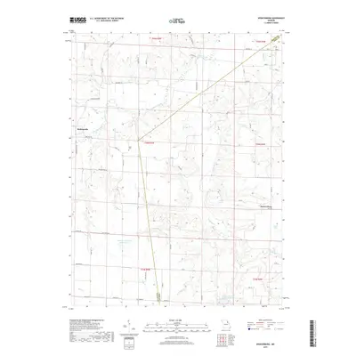
2017 Map of Spencerburg
USGS Topo · Published 2017About this map
Spencerburg and Madisonville anchor this northern Missouri landscape, situated along the border of Ralls and Pike counties. The area is defined by a dense network of tributaries including Spencer Creek, Crigler Br, and the Clifty Fork, which carve through the terrain. Evidence of local community life is visible in the placement of the Adiel Cem near the center of the quadrangle and the various small water bodies that dot the countryside, such as Neal Pond and Lewis Lake. Significant modern water management is represented by the Weldon H "Pete" Steiner Reservoir and the Vandalia Sportsman Club Lakes in the southern portion of the sheet. The map details a transition from established settlements to a rural infrastructure of county roads and state highways, reflecting the agricultural and recreational character of this region in the early twenty-first century.
Find a feature on this map
69 named features on this map. Tap any name to fly to it.
Don’t see what you’re looking for? This feature index may not catch every label — zoom into the map to look around manually.
Map Details
Editions of this 2017 Spencerburg Map
This is the sole edition of this map. No revisions or reprints were ever made.
Other maps of this area

1890 · Louisiana
USGS Topo · 1:125,000

1890 · Mexico
USGS Topo · 1:125,000

1903 · Palmyra
USGS Topo · 1:125,000

1932 · Hannibal
USGS Topo · 1:62,500

1936 · Hannibal
USGS Topo · 1:48,000

1943 · Vandalia
USGS Topo · 1:62,500

1945 · Hannibal
USGS Topo · 1:62,500

1945 · Perry
USGS Topo · 1:62,500

1945 · Vandalia
USGS Topo · 1:62,500

1948 · Quincy
USGS Topo · 1:250,000