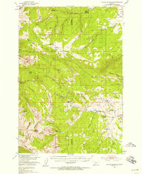
1950 Map of Sphinx Mountain
USGS Topo · Published 1958About this map
The high ridges of the Madison Range dominate this 1950s survey of south-central Montana. The landscape is defined by the sharp elevations of Sphinx Mtn and Koch Peak, which divide the watershed of the Gallatin River from the headwaters of the Madison River drainage. At this time, the backcountry was managed through a network of remote outposts, including the Big Spring Ranger Sta and the Cache Creek Ranger Sta. These stations, along with the Wapiti Ranger Sta, served as critical hubs for forest management within the Gallatin National Forest. The map documents a working landscape of high-country ranching and early outdoor recreation, notably at the Nine Quarter Circle Ranch and the Ousel Falls Campground. Small family operations like the Michel Ranch and Smith Ranch appear near the river valleys, while trails such as the Eldridge Trail provided the primary access through the high basins.
Find a feature on this map
76 named features on this map. Tap any name to fly to it.
Don’t see what you’re looking for? This feature index may not catch every label — zoom into the map to look around manually.
Map Details
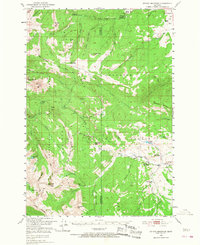
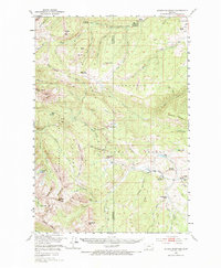
Editions of this 1950 Sphinx Mountain Map
4 editions found

Other maps of this area

1888 · Three Forks
USGS Topo · 1:250,000

1894 · Three Forks
USGS Topo · 1:250,000

1895 · Three Forks
USGS Topo · 1:250,000

1947 · Bozeman
USGS Topo · 1:250,000

1948 · Bozeman
USGS Topo · 1:250,000

1949 · Ennis
USGS Topo · 1:62,500

1950 · Cliff Lake
USGS Topo · 1:62,500

1950 · Hebgen Dam
USGS Topo · 1:62,500

1950 · Cameron
USGS Topo · 1:62,500

1950 · Spanish Peaks
USGS Topo · 1:62,500