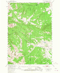
1950 Map of Sphinx Mountain
USGS Topo · Published 1968About this map
The Gallatin River valley and the high divides of the Gallatin National Forest define this 1950s survey area. The landscape is marked by a network of remote outposts and working land, from the Nine Quarter Circle Ranch near Lincoln Mountain to the high-elevation Big Spring Ranger Sta. Geographically, the sheet covers the rugged transition where the Beaverhead National Forest meets the Gallatin, featuring prominent peaks like the Sphinx Mtn and The Helmet. The presence of several administrative stations, including the Yellow Mule Ranger Sta and Cache Creek Ranger Sta, reflects the mid-century management of these protected timberlands and watersheds. Researchers can trace historic access routes like the Ditch Trail and Eldridge Trail which connected isolated camps such as Manley Camp to the more developed ranching clusters in the northeast corner.
Find a feature on this map
70 named features on this map. Tap any name to fly to it.
Don’t see what you’re looking for? This feature index may not catch every label — zoom into the map to look around manually.
Map Details
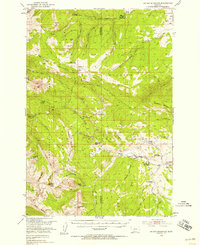
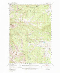
Editions of this 1950 Sphinx Mountain Map
4 editions found

Other maps of this area

1888 · Three Forks
USGS Topo · 1:250,000

1894 · Three Forks
USGS Topo · 1:250,000

1895 · Three Forks
USGS Topo · 1:250,000

1947 · Bozeman
USGS Topo · 1:250,000

1948 · Bozeman
USGS Topo · 1:250,000

1949 · Ennis
USGS Topo · 1:62,500

1950 · Cliff Lake
USGS Topo · 1:62,500

1950 · Hebgen Dam
USGS Topo · 1:62,500

1950 · Cameron
USGS Topo · 1:62,500

1950 · Spanish Peaks
USGS Topo · 1:62,500