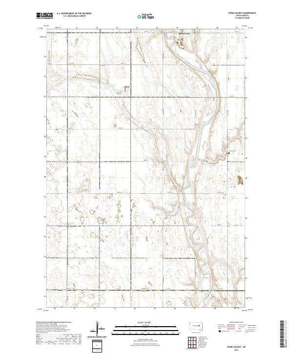
2021 Map of Spink Colony
USGS Topo · Published 2021About this map
James River meanders through this portion of the northern plains, creating a complex corridor of oxbows and wetlands near the Spink Co Beadle Co line. This landscape is defined by its agrarian patterns and Hutterite heritage, centered around the Spink Colony settlement in the north. The survey documents important local burial sites, including Spink Colony Cem and the Hillestad Cem, providing essential markers for genealogical research in this rural district. The hydrology of the area is further characterized by Lake Dudley, a significant water body formed by the river's winding path. The road network follows the rigid section lines of the Public Land Survey System, with routes like Co Rd 26 and 182nd St cutting across the alluvial terrain to connect these isolated prairie communities.
Find a feature on this map
22 named features on this map. Tap any name to fly to it.
Don’t see what you’re looking for? This feature index may not catch every label — zoom into the map to look around manually.
Map Details
Editions of this 2021 Spink Colony Map
This is the sole edition of this map. No revisions or reprints were ever made.
Other maps of this area

1895 · Byron
USGS Topo · 1:125,000

1953 · Huron
USGS Topo · 1:250,000

1954 · Huron
USGS Topo · 1:250,000

1956 · Lake Byron NW
USGS Topo · 1:24,000

1956 · Glendale Colony
USGS Topo · 1:24,000

1956 · Lake Byron
USGS Topo · 1:24,000

1956 · Spink Colony
USGS Topo · 1:24,000

1956 · Doland SW
USGS Topo · 1:24,000

1956 · Hitchcock SE
USGS Topo · 1:24,000

1967 · Frankfort SW
USGS Topo · 1:24,000
Featured Places
- Belmont Township, SD
- Lincoln Township, SD
- Cornwall Township, SD
- Crandon Township, SD
- Spink Hutterite Colony, SD