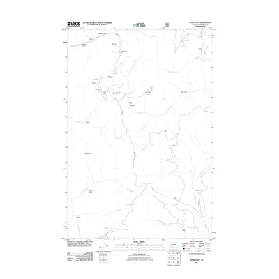
2011 Map of Spink Point
USGS Topo · Published 2011About this map
Mining operations define the character of this Granite County landscape, concentrated heavily along the western drainages. The Brewster Creek watershed is particularly active, containing the Jumbo Mine, Hidden Treasure Mine, and Alps Mine. These sites sit within a complex network of steep terrain marked by Mason Gulch and Highline Gulch, suggesting a long history of hard-rock extraction in the mountains. To the east, Sliderock Mountain stands as a prominent landmark overlooking the Harvey Creek and Eightmile Creek drainages.
Find a feature on this map
34 named features on this map. Tap any name to fly to it.
Don’t see what you’re looking for? This feature index may not catch every label — zoom into the map to look around manually.
Map Details
Editions of this 2011 Spink Point Map
This is the sole edition of this map. No revisions or reprints were ever made.
Other maps of this area

1903 · Bonner
USGS Topo · 1:125,000

1908 · Philipsburg
USGS Topo · 1:125,000

1909 · Sapphire
USGS Topo · 1:125,000

1919 · Drummond
USGS Topo · 1:125,000

1921 · Drummond
USGS Topo · 1:125,000

1947 · Butte
USGS Topo · 1:250,000

1958 · Butte
USGS Topo · 1:250,000

1959 · Bearmouth
USGS Topo · 1:62,500

1959 · Ravenna
USGS Topo · 1:62,500

1960 · Butte
USGS Topo · 1:250,000