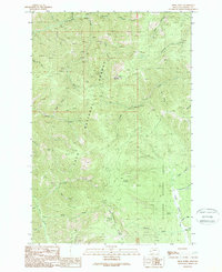
1989 Map of Spink Point
USGS Topo · Published 1989About this map
Lolo National Forest and Deerlodge National Forest meet in this mountain survey of Granite County, revealing a landscape defined by mining history and steep drainage basins. High peaks like Sliderock Mountain and Spink Point overlook a network of narrow gulches and creeks, including Eightmile Creek and Harvey Creek. The presence of several distinct operations, such as the Edelman Mine, Alps Mine, and the Jumbo Mine, indicates a period of persistent geological exploration and resource extraction in the Montana interior.
Find a feature on this map
46 named features on this map. Tap any name to fly to it.
Don’t see what you’re looking for? This feature index may not catch every label — zoom into the map to look around manually.
Map Details
Editions of this 1989 Spink Point Map
This is the sole edition of this map. No revisions or reprints were ever made.
Other maps of this area

1903 · Bonner
USGS Topo · 1:125,000

1908 · Philipsburg
USGS Topo · 1:125,000

1909 · Sapphire
USGS Topo · 1:125,000

1919 · Drummond
USGS Topo · 1:125,000

1921 · Drummond
USGS Topo · 1:125,000

1947 · Butte
USGS Topo · 1:250,000

1958 · Butte
USGS Topo · 1:250,000

1959 · Bearmouth
USGS Topo · 1:62,500

1959 · Ravenna
USGS Topo · 1:62,500

1960 · Butte
USGS Topo · 1:250,000