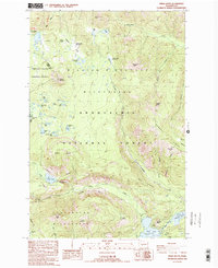
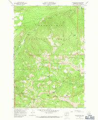
1988 Map of Spiral Butte
USGS Topo · Published 1989About this map
Spiral Butte and the volcanic landscape of the Cascade Range define this high-altitude survey along the Yakima and Lewis County line. The area is a dense network of subalpine basins and glacial features, notably the Twin Sisters Lakes and the cluster of water bodies including Dumbbell Lake, Cramer Lake, and Shellrock Lake. These alpine lakes are situated within the William O. Douglas Wilderness, illustrating the region's preservation as a primitive backcountry area in the late 20th century.
Find a feature on this map
59 named features on this map. Tap any name to fly to it.
Don’t see what you’re looking for? This feature index may not catch every label — zoom into the map to look around manually.
Map Details
Editions of this 1988 Spiral Butte Map
2 editions found

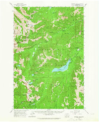
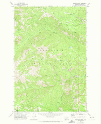
Other maps of this area

1902 · Mount Aix
USGS Topo · 1:125,000

1904 · Mt Aix
USGS Topo · 1:125,000

1950 · Yakima
USGS Topo · 1:250,000

1958 · Yakima
USGS Topo · 1:250,000

1961 · Yakima
USGS Topo · 1:250,000
1962 · Bumping Lake
USGS Topo · 1:62,500
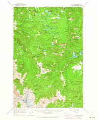
1962 · White Pass
USGS Topo · 1:62,500
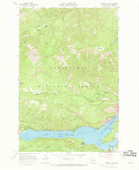
1967 · Rimrock Lake
USGS Topo · 1:24,000
1967 · Darland Mtn
USGS Topo · 1:24,000
1971 · Timberwolf Mtn
USGS Topo · 1:24,000