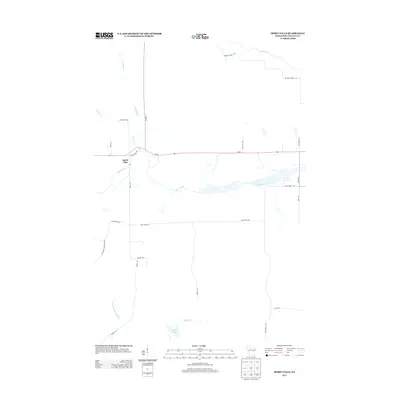
2013 Map of Spirit Falls
USGS Topo · Published 2013About this map
The Spirit River flows through the center of this Lincoln County landscape, serving as a primary corridor through the north-central Wisconsin forestland. The small settlement of Spirit Falls sits at the junction of Wi-86 and Spirit Falls Rd, marking a quiet rural crossroads where local travel routes like Bridge Rd and Tower Rd branch into the surrounding timber and wetland areas.
Find a feature on this map
26 named features on this map. Tap any name to fly to it.
Don’t see what you’re looking for? This feature index may not catch every label — zoom into the map to look around manually.
Map Details
Editions of this 2013 Spirit Falls Map
This is the sole edition of this map. No revisions or reprints were ever made.
Other maps of this area

1939 · Mc Cord
USGS Topo · 1:48,000

1941 · Brantwood
USGS Topo · 1:48,000

1943 · Brantwood
USGS Topo · 1:48,000

1945 · Rib Lake
USGS Topo · 1:48,000

1947 · Mc Cord
USGS Topo · 1:48,000

1947 · Rib Lake
USGS Topo · 1:48,000

1949 · Rib Lake
USGS Topo · 1:48,000

1950 · Spirit Falls
USGS Topo · 1:48,000

1952 · Spirit Falls
USGS Topo · 1:48,000

1953 · Rice Lake
USGS Topo · 1:250,000