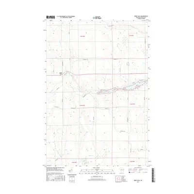
2015 Map of Spirit Falls
USGS Topo · Published 2015About this map
Spirit Falls serves as the primary focal point of this northern Wisconsin landscape, where the Spirit River and its various tributaries define the hydrology of Lincoln County. The area is characterized by an extensive network of watercourses, including Pappoose Cr, Squaw Cr, and the Soma River. In the southern portion of the quadrangle, Krueger Lake and Krueger Cr drain toward the E Fork New Wood River, reflecting a complex glacial drainage pattern. The human footprint here is largely defined by recreational and rural infrastructure, most notably the numerous corridors marked as Snowmobile Trl that crisscross the townships. Local transit is managed through a grid of named rural routes such as Wilson School Dr and Phalzgraff Rd, which provide access to the timbered and wetland-rich tracts of the Northwoods.
Find a feature on this map
33 named features on this map. Tap any name to fly to it.
Don’t see what you’re looking for? This feature index may not catch every label — zoom into the map to look around manually.
Map Details
Editions of this 2015 Spirit Falls Map
This is the sole edition of this map. No revisions or reprints were ever made.
Other maps of this area

1939 · Mc Cord
USGS Topo · 1:48,000

1941 · Brantwood
USGS Topo · 1:48,000

1943 · Brantwood
USGS Topo · 1:48,000

1945 · Rib Lake
USGS Topo · 1:48,000

1947 · Mc Cord
USGS Topo · 1:48,000

1947 · Rib Lake
USGS Topo · 1:48,000

1949 · Rib Lake
USGS Topo · 1:48,000

1950 · Spirit Falls
USGS Topo · 1:48,000

1952 · Spirit Falls
USGS Topo · 1:48,000

1953 · Rice Lake
USGS Topo · 1:250,000