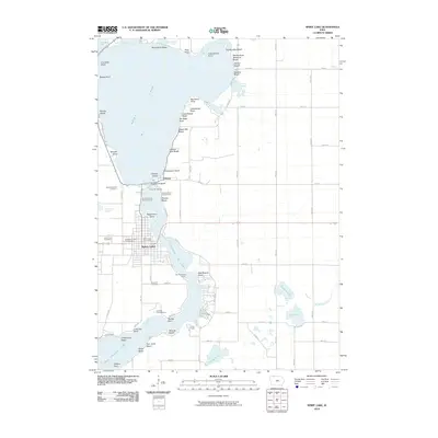
2010 Map of Spirit Lake
USGS Topo · Published 2010About this map
Spirit Lake and East Okoboji Lake dominate this Iowa landscape, where the interconnected waterways have shaped local life and recreation for generations. The town of Spirit Lake serves as the central hub, anchored by the Spirit Lake Post Office and the Dickinson County Fairgrounds. The shoreline is a dense patchwork of named landings and beaches, such as Marble Beach, Miniwaukon Beach, and Cedar Rapids Beach, reflecting a long history of seasonal residency and tourism. Conservation and education appear as significant local pillars, evidenced by the State Fish Hatchery and Orleans State Fish Hatchery near the settlement of Orleans. For those researching family history, the map provides precise locations for Saint Margaret Cemetery, Lake View Cemetery, and Rose Hill Cemetery, while youth camps like Camp Foster and Lutheran Lakeside Camp indicate the established role of the lakefront in community life.
Find a feature on this map
76 named features on this map. Tap any name to fly to it.
Don’t see what you’re looking for? This feature index may not catch every label — zoom into the map to look around manually.
Map Details
Editions of this 2010 Spirit Lake Map
This is the sole edition of this map. No revisions or reprints were ever made.
Other maps of this area

1954 · Fairmont
USGS Topo · 1:250,000

1958 · Fairmont
USGS Topo · 1:250,000

1970 · Milford
USGS Topo · 1:24,000

1970 · Lakefield SW
USGS Topo · 1:24,000

1970 · Jackson
USGS Topo · 1:24,000

1970 · Okoboji
USGS Topo · 1:24,000

1970 · Lakefield SE
USGS Topo · 1:24,000

1970 · Spirit Lake SE
USGS Topo · 1:24,000

1970 · Spirit Lake
USGS Topo · 1:24,000

1972 · Terril
USGS Topo · 1:24,000