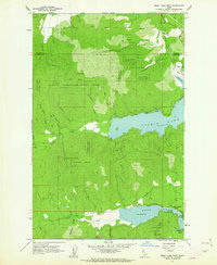
1961 Map of Spirit Lake West
USGS Topo · Published 1963About this map
Spirit Lake and Twin Lakes dominate this mountain landscape, which was meticulously field-checked in 1961. The shoreline economy is evident through recreational outposts like Silver Beach, Echo Beach, and Silver Sands Beach, while the surrounding timberland is split between the Kaniksu National Forest and Coeur d'Alene National Forest. Transportation history is etched into the terrain via the Milwaukee St Paul and Pacific railroad and an Old Railroad Grade winding south of the upper lakes. Numerous drainages such as West Fork Birch Creek, Breakfast Creek, and Dinner Creek feed into the basins from peaks like Larch Mtn. The map documents a specific moment in local hydrology, recording precise water elevations and the presence of a Heliport and several Gravel Pits used for forest and road maintenance.
Find a feature on this map
34 named features on this map. Tap any name to fly to it.
Don’t see what you’re looking for? This feature index may not catch every label — zoom into the map to look around manually.
Map Details
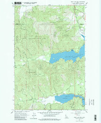
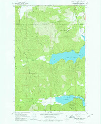
Editions of this 1961 Spirit Lake West Map
3 editions found
Other maps of this area

1901 · Sandpoint
USGS Topo · 1:125,000

1901 · Spokane
USGS Topo · 1:125,000

1903 · Rathdrum
USGS Topo · 1:125,000

1911 · Priest Lake
USGS Topo · 1:250,000

1911 · Sandpoint
USGS Topo · 1:125,000

1913 · Priest Lake
USGS Topo · 1:250,000

1936 · Newport
USGS Topo · 1:96,000

1942 · Newport
USGS Topo · 1:125,000

1943 · Mt Spokane
USGS Topo · 1:62,500

1950 · Mt Spokane
USGS Topo · 1:62,500