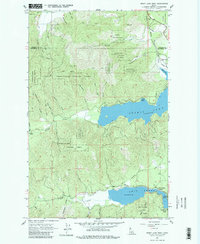
1961 Map of Spirit Lake West
USGS Topo · Published 1980About this map
Spirit Lake and the northern reaches of Twin Lakes anchor this landscape along the border of Bonner and Kootenai Counties. In the early 1960s, the shoreline communities of Silver Beach, Silver Sands Beach, Echo Beach, and Excelsior Beach reveal a region defined by seasonal recreation and timber. The rugged interior is dominated by the Kaniksu and Coeur d'Alene National Forests, where high points like Larch Mtn and Pitz Mtn overlook a network of drainages including Breakfast Creek and Poirrier Creek. Transportation history is etched into the terrain via the Chicago Milwaukee St Paul and Pacific railroad line near the town of Spirit Lake and an Old Railroad Grade that winds through the southern timberlands. The presence of a Heliport and various jeep trails reflects the logistical demands of forest management during this era.
Find a feature on this map
36 named features on this map. Tap any name to fly to it.
Don’t see what you’re looking for? This feature index may not catch every label — zoom into the map to look around manually.
Map Details
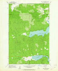
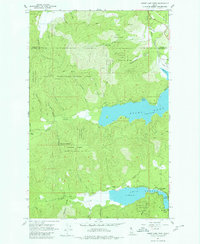
Editions of this 1961 Spirit Lake West Map
3 editions found
Other maps of this area

1901 · Sandpoint
USGS Topo · 1:125,000

1901 · Spokane
USGS Topo · 1:125,000

1903 · Rathdrum
USGS Topo · 1:125,000

1911 · Priest Lake
USGS Topo · 1:250,000

1911 · Sandpoint
USGS Topo · 1:125,000

1913 · Priest Lake
USGS Topo · 1:250,000

1936 · Newport
USGS Topo · 1:96,000

1942 · Newport
USGS Topo · 1:125,000

1943 · Mt Spokane
USGS Topo · 1:62,500

1950 · Mt Spokane
USGS Topo · 1:62,500